Most books are stored in the elastic cloud where traffic is expensive. For this reason, we have a limit on daily download.
Top 1200 remote sensing geographic information systems PDF Book Page 2
Remote Sensing of Hydrometeorological Hazards
George P. Petropoulos
·551 Pages
·2018
·4.75 MB
Remote Sensing and GIS Accuracy Assessment (Mapping Science)
320 Pages
·2012
·9.28 MB
Remote Sensing Geology
Ravi P. Gupta (auth.)
·438 Pages
·2018
·33.83 MB
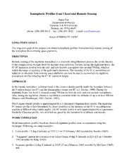
DTIC ADA572521: Ionospheric Profiles from Ultraviolet Remote Sensing
Defense Technical Information Center
·4 Pages
·0.02 MB
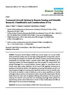
Unmanned Aircraft Systems in Remote Sensing and Scientific
22 Pages
·2012
·1.04 MB
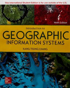
Introduction to Geographic Information Systems
Kang-tsung Chang
·461 Pages
·2019
·10.899 MB
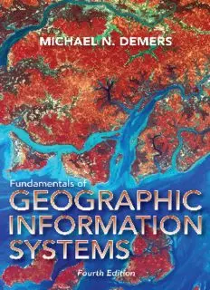
Fundamentals of geographic information systems
DeMers
·461 Pages
·2016
·7.49 MB
SATELLITE REMOTE SENSING AND GIS APPLICATIONS IN AGRICULTURAL
21 Pages
·2005
·0.18 MB
![National Geographic [March 2015] book image](https://cdn.pdfdrive.to/media/content/thumbnails/23797718-8e6f-4754-a1cc-b01fc642227a.webp)
National Geographic [March 2015]
National Geographic
·144 Pages
·35.064 MB
Notional Airborne Remote Sensing Strategy
63 Pages
·2016
·29.2 MB
Remote sensing handbook. Volume I, Remotely sensed data characterization, classification, and accuracies
Prasad Srinivasa
·712 Pages
·2015
·45.03 MB
Photogrammetric Engineering and Remote Sensing 1994: Vol 60 Index
21 Pages
·1994
·5.5 MB
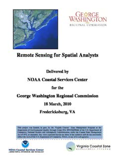
Remote Sensing for Spatial Analysts
198 Pages
·2010
·27.51 MB
Remote Sensing Handbook - Three Volume Set: Land Resources Monitoring, Modeling, and Mapping with Remote Sensing
Prasad S. Thenkabail
·858 Pages
·2015
·181.66 MB
QGIS in remote sensing set. Volume 2, QGIS and applications in agriculture and forest
Nicolas Baghdadi
·353 Pages
·2018
·43.14 MB
GPR Remote Sensing in Archaeology
Dean Goodman
·241 Pages
·2013
·15.42 MB
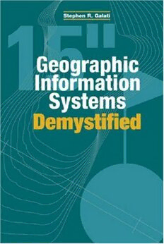
Geographic Information Systems Demystified
Stephen R. Galati
·297 Pages
·2006
·2.608 MB
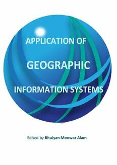
Application of Geographic Information Systems
Alam B.M. (Ed.)
·382 Pages
·42.81 MB
Spatial Statistics for Remote Sensing
Ben Gorte (auth.), Alfred Stein, Freek Van der Meer, Ben Gorte (eds.)
·288 Pages
·2002
·12.283 MB
PRINCIPLES OF REMOTE SENSING - The World AgroMeteorological
16 Pages
·2005
·1.4 MB
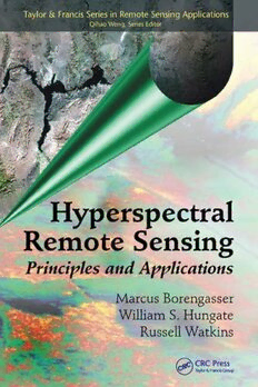
Hyperspectral Remote Sensing
Marcus Borengasser, William S. Hungate, Russell Watkins
·130 Pages
·2004
·3.714 MB
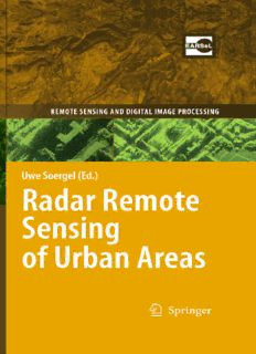
Radar Remote Sensing of Urban Areas
Uwe Soergel (auth.)
·287 Pages
·2010
·7.7 MB

National Geographic September 2010 volume 218 issue 3
National Geographic Magazine
·2010
·17.22 MB
Most books are stored in the elastic cloud where traffic is expensive. For this reason, we have a limit on daily download.
