Most books are stored in the elastic cloud where traffic is expensive. For this reason, we have a limit on daily download.
Top 1200 remote sensing geographic information systems PDF Book Page 9
Remote Sensing of Natural Hazards
Jay Gao
·464 Pages
·2023
·85.657 MB
Geographic Information Systems in Water Resources Engineering
Lynn E. Johnson
·300 Pages
·2008
·15.76 MB
Surface Displacement Measurement from Remote Sensing Images
Olivier Cavalie, Emmanuel Trouve
·420 Pages
·2022
·39.515 MB

Remote Sensing of Environment 2002: Vol 79-83 Index
31 Pages
·2002
·8 MB
Remote Sensing of Environment 2000: Vol 74 Table of Contents
4 Pages
·2000
·1.2 MB
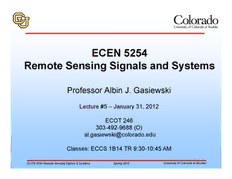
A J Gasiewski remote sensing course notes lecture5
A J Gasiewski
·65 Pages
·1.848 MB
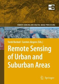
Remote sensing of urban and suburban areas
Maik Netzband, Carsten Jürgens (auth.), Tarek Rashed, Carsten Jürgens (eds.)
·355 Pages
·2010
·9.138 MB
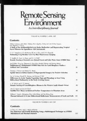
Remote Sensing of Environment 1997: Vol 60 Table of Contents
5 Pages
·1997
·1.1 MB
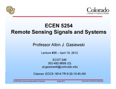
A J Gasiewski remote sensing course notes lecture26
A J Gasiewski
·54 Pages
·0.967 MB
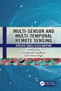
MultiSensor and MultiTemporal Remote Sensing
Anil Kumar, Priyadarshi Upadhyay, Uttara Singh
·178 Pages
·2023
·9.35 MB
A J Gasiewski remote sensing course notes lecture1
A J Gasiewski
·55 Pages
·4.539 MB
DTIC ADA484268: Deconvolution of Plant Type(s) for Homeland Security Enforcement Using Remote Sensing on a UAV Collection Platform
Defense Technical Information Center
·0.52 MB
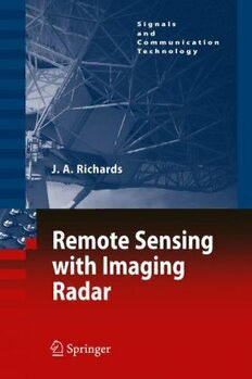
Remote Sensing With Imaging Radar
John A. Richards (auth.)
·373 Pages
·2009
·16.39 MB
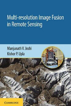
Multi-resolution Image Fusion in Remote Sensing
Manjunath V. Joshi, Kishor P. Upla
·255 Pages
·2019
·31.414 MB
Uncertainty in Geographical Information (Research Monographs in Geographic Information Systems,)
Jingxiong Zhang, Michael F. Goodchild
·277 Pages
·2002
·4.398 MB

National Geographic Essential Visual History of World Mythology
National Geographic
·481 Pages
·2008
·92 MB
A J Gasiewski remote sensing course notes lecture14
A J Gasiewski
·44 Pages
·1.126 MB
Remote Sensing Applications in Environmental Research
Prashant K. Srivastava, Saumitra Mukherjee, Manika Gupta, Tanvir Islam (eds.)
·223 Pages
·2014
·8.93 MB
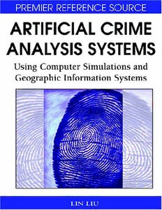
Artificial Crime Analysis Systems: Using Computer Simulations and Geographic Information Systems
Lin Liu, John Eck
·509 Pages
·2008
·8.506 MB
DEVELOPMENT AND IMPROVEMENT OF AIRBORNE REMOTE SENSING RADAR PLATFORMS ...
225 Pages
·2013
·10.96 MB
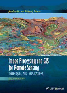
Essential Image Processing and GIS for Remote Sensing. Techniques and Applications
Liu J.G.
·472 Pages
·2009
·30.27 MB
A J Gasiewski remote sensing course notes lecture4
A J Gasiewski
·61 Pages
·0.979 MB
A J Gasiewski remote sensing course notes lecture21
A J Gasiewski
·33 Pages
·0.794 MB
A J Gasiewski remote sensing course notes lecture12
A J Gasiewski
·60 Pages
·1.506 MB
Most books are stored in the elastic cloud where traffic is expensive. For this reason, we have a limit on daily download.
