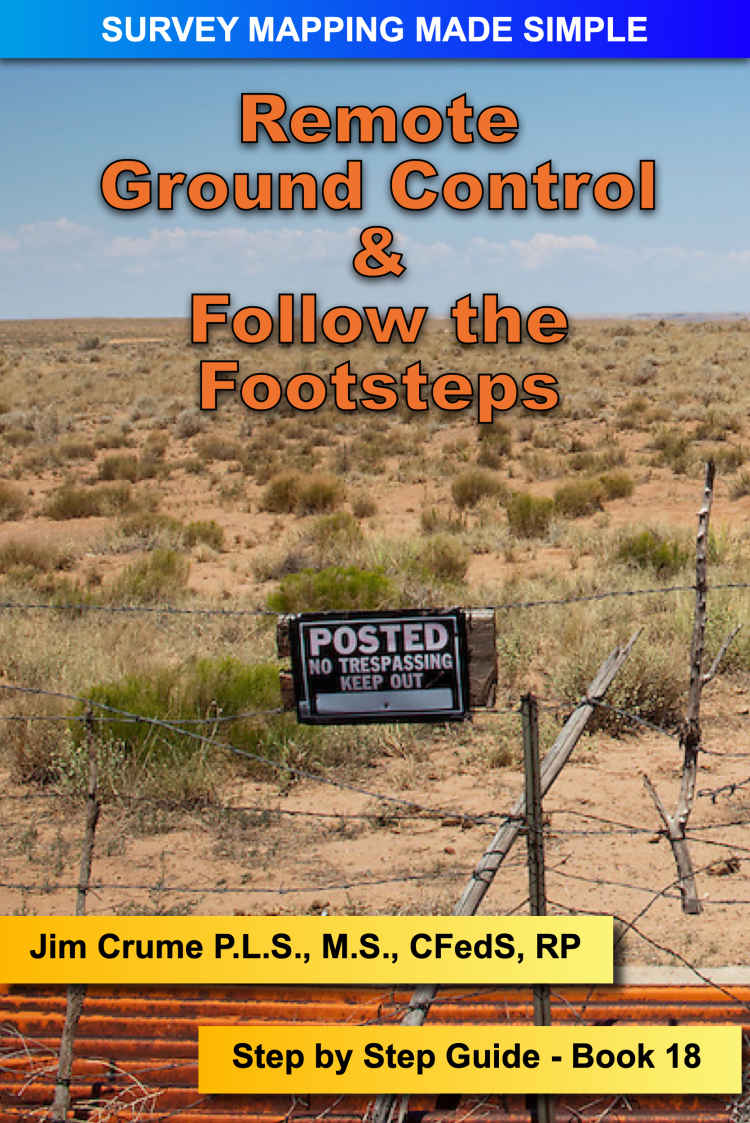
Remote Ground Control: Step by Step Instructions PDF
36 Pages·2022·4.3226 MB·other
Most books are stored in the elastic cloud where traffic is expensive. For this reason, we have a limit on daily download.
Preview Remote Ground Control: Step by Step Instructions
Description:
Remote Ground Control and Follow the Footsteps are two missions shown in this book that use a unique method of utilzing LiDAR combined with Imagery to perform survey tasks that was not possible just a few years ago.
See more
The list of books you might like
Most books are stored in the elastic cloud where traffic is expensive. For this reason, we have a limit on daily download.
