Drones in Watershed Mapping PDF
Preview Drones in Watershed Mapping
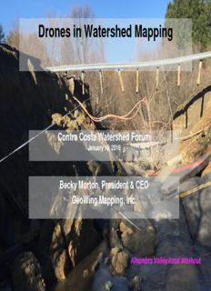
Drones in Watershed Mapping Contra Costa Watershed Forum January 10, 2018 Becky Morton, President & CEO GeoWing Mapping, Inc. Alhambra Valley Road Washout GeoWing – Who Are We? Aerial Imaging Mapping Intro Why use UAS, aka drones, for watershed mapping? Alhambra Valley Road Project Sensors - what are drones capable of? Q&A Why use drones for watershed mapping? Higher image resolution Quick deployment Access to hazardous areas Robust software Cost effective Fast data turnaround GPS autonomous flight Built-in safety features New products from drones Is UAS the right tool ? Need for complex data, detailed measurement? Located in challenging areas? Requirement for very hi-res image base? Frequent acquisition cycles desired? Safety concerns for manned ops? Cost savings? Time savings? Alhambra Valley Road Project Alhambra Valley Road Project Flight Date / Contract Date: 2/22/17 Data Delivery: 2/24-27/17 Alhambra Valley Road Project Alhambra Valley Road Project
Description: