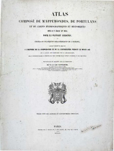
Atlas composé de mappemondes, de portulans et de cartes hydrographiques et historiques, depuis le VIe jusqu’au XVIIe siècle PDF
96 Pages·1849·65.348 MB·French
Most books are stored in the elastic cloud where traffic is expensive. For this reason, we have a limit on daily download.
Preview Atlas composé de mappemondes, de portulans et de cartes hydrographiques et historiques, depuis le VIe jusqu’au XVIIe siècle
Description:
Атлас состоит из гидрографических и исторических карт мира с VI до XVII века, самые необычные, и взяты из нескольких библиотек Европы, для использования в качестве доказательств в истории и космографии, отображения в средние века прогресса географии после открытий XV века, сделанные португальцами, испанцами, и другими народами.
See more
The list of books you might like
Most books are stored in the elastic cloud where traffic is expensive. For this reason, we have a limit on daily download.
