ArcGIS for Geoscientists PDF
68 Pages·2014·8.76 MB·English
Most books are stored in the elastic cloud where traffic is expensive. For this reason, we have a limit on daily download.
Preview ArcGIS for Geoscientists
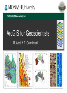
School of Geosciences ArcGIS for Geoscientists R. Armit & T. Carmichael GIS A geographic information system (GIS) is a system designed to capture, store, manipulate, analyze, manage, and present all types of spatial data. From tracking diseases to vectors to mineralisation. 2 GIS Gocad Iogas 3 The Package ArcMap ArcScene ArcGlobe Online guide available at: version 10.0 help version 10.1 help version 10.2 help 4 Modern light table 5 Arcmap – Lithologies and samples in Armit et al. 2014 Mount Painter 6 7 ArcScene – DTM of northern Flinders Ranges 8 ArcScene flyins 9 10
Description:School of Geosciences. ArcGIS for Geoscientists. R. Armit & T. Carmichael. Page 2. 2. GIS. ▫ A geographic information system (GIS) is a system
See more
The list of books you might like
Most books are stored in the elastic cloud where traffic is expensive. For this reason, we have a limit on daily download.
