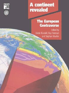
A Continent Revealed: The European Geotraverse PDF
287 Pages·1992·23.277 MB·English
Most books are stored in the elastic cloud where traffic is expensive. For this reason, we have a limit on daily download.
Preview A Continent Revealed: The European Geotraverse
Description:
A Continent Revealed presents the findings of the European Geotraverse (EGT)--a unique study of the tectonic evolution of the continent of Europe and the first comprehensive cross section of the continental lithosphere. The project produced maps and geologic profiles, along a 250 kilometer wide swath stretching 4600 kilometers from Scandinavia to the Mediterranean, which form a three dimensional picture of the structure, properties, and composition of the continental lithosphere of Europe in an atlas format. Many of the data that comprise the maps are also presented on an compact disc (ROM). The discussion volume, the maps, and a booklet containing gravity, electric, and magnetic field data constitute the complete boxed set. The paperback discussion volume is also available separately.
See more
The list of books you might like
Most books are stored in the elastic cloud where traffic is expensive. For this reason, we have a limit on daily download.
